A First Walk Through an Unfamiliar Neighbourhood
A first walk through an unfamiliar neighbourhood helps you map useful routes, crossings and shared spaces, then choose what to check on a return visit.
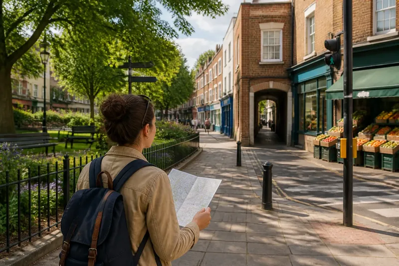
Which streets connect the places you might actually use? A first walk through an unfamiliar neighbourhood is a chance to answer that, not to collect every sight or decide what the whole area is like. Choose a destination, follow the links between it and nearby streets, and leave room for a return visit.
Start with a destination and a question
Pick a practical starting point: a station, a likely front door, a library or a particular venue. Then ask one question, such as whether the food shop is reached by a direct walk or whether a green space connects to the main street.
If you are considering a move, trace a route between places you expect to use. Pay attention to crossings, barriers and which side of a busy road the destinations sit on. If you are visiting a venue, look at its entrances and the streets feeding into them. For a general sense of the area, pair a main street with one quieter street that meets it.
Read how streets and shared spaces join up
At each junction, check where the streets lead and whether the walking routes continue in the direction you need. A road may point towards a station, bend around a school or end at a path. Look for the practical connection: a crossing, a pavement that continues, or a route that avoids an awkward detour.
In a square or small green, notice the entrances, benches and paths people use. These details can show how the space is arranged and what it accommodates at that moment. They do not establish who uses it at other times, or whether it serves as a neighbourhood meeting place.
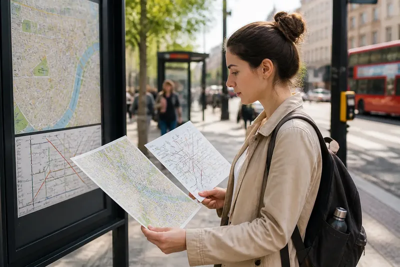
Say you begin at a library and want to see whether a nearby green offers a useful route to the shops. Your starting observations are a map showing a narrow passage behind the shops and a bus road along their front. Walk from the library to the green, then follow the passage to the shops; note whether it is open, continuous and straightforward to follow. If it is, record it as a possible walking link; if it is closed or confusing, use the main road route instead and mark the passage for a later check. Neither result proves how other people use the route.
Adjust the walk to the question you need answered
For walking connections, look closely at crossings, pavement continuity and obstacles such as a railway cutting or a large junction. A route can appear close on a map yet require a detour to cross the road. Decide whether that matters for the particular journey you have in mind.
To see where everyday activity gathers, pass a corner shop, café, school entrance or community hall. Notice where people enter and leave, but do not treat a brief visit as a reliable picture of activity at other times.
If access is a significant concern, note dropped kerbs, surface changes, resting places and entrances involving stairs. A single route cannot establish whether a whole area suits a particular person. Check venue information and seek advice suited to that person’s circumstances where needed.
Keep a short route record with decisions
Use a phone map or pocket notebook to mark the route and the junctions that changed your direction. Describe what you saw rather than assigning a verdict: “pavement ends at the junction” is more useful than “difficult area”. For each observation, decide what it means for your intended journey.
- Check whether a crossing takes you towards your destination; if it does, mark it as the useful route, but if it sends you away from it, look for another crossing.
- Check whether the pavement continues beyond a junction; if it does, keep following it, but if it ends, identify a clearly accessible alternative before proceeding.
- Check whether a path has an open, visible entrance; if it does, try it as a possible link, but if access is unclear, stay on a public street.
- Check whether a green or square has paths from the streets you need; if it does, mark the connection, but if it does not, use the street route instead.
- Check whether a destination has a step-free entrance visible from your route; if it does, note that entrance, but if it does not, consult the venue’s access information.
- Check whether a busy road interrupts the route you intend to walk; if a crossing is convenient, include it, but if it creates a long detour, consider another route or visit at a different time.
- Check whether a place you want to revisit was active during your walk; if it was, note the time and return later to compare, but if it was quiet, do not assume it is always so.
What is not worth the effort is naming every building, photographing each junction or trying every branch of the street grid. A few route decisions are easier to use than a catalogue of impressions.
What should you check before drawing conclusions?
How long should a first walk be?
Walk far enough to see a change in street character and check one or two connections. A compact loop around a specific question is often easier to remember than a long route chosen for coverage.
Should you follow a map or wander?
Use a map to choose a starting point and keep your bearings, then take a small detour if a public path or shared space appears useful. A map helps distinguish a genuine connection from two places that merely look close together.
Can one walk tell you whether a neighbourhood suits you?
It can show how a particular route works at that moment, not how every street feels throughout the day. Treat what you saw as a reason to revisit along another route or at another time.
What should you do if a route feels unclear?
Stop somewhere safe and check a street map, local sign or public transport map. If a path appears private or access is uncertain, do not assume it is a public shortcut; choose a clearly accessible route.
Use the first walk to choose the next one
Keep route decisions separate from claims about local habits. A path between the shops and a green is something you can observe; saying that everyone uses it to reach the centre would require evidence beyond one visit. A short record of crossings, paths and unanswered questions makes a first walk through an unfamiliar neighbourhood useful without pretending it explains the whole place.
Before you leave, choose one specific thing to check next time: the same crossing at a different time, another entrance to the green, or the route from the station to the shops. That gives your next walk a purpose while keeping the first one in its proper scale.